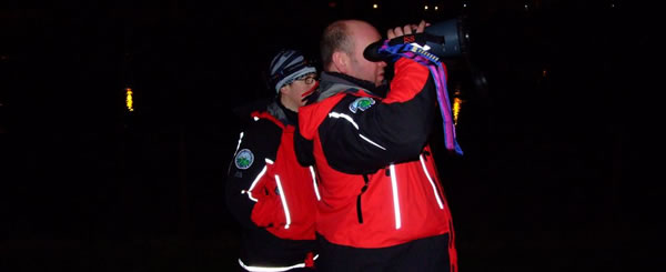
ORDNANCE SURVEY APP TO HELP YOU WHEN LOST
Hillwalkers have relied on Ordnance Survey maps for generations to find their way on the hills. A map and a compass is still the most reliable tool to navigate especially in poor conditions..
However; We can all get it wrong in poor visibility and sometimes just need confirmation of our exact position. No need to spend hundreds of pounds on an expensive GPS,
Ordnance Survey provide a free app OS locate that does just that.
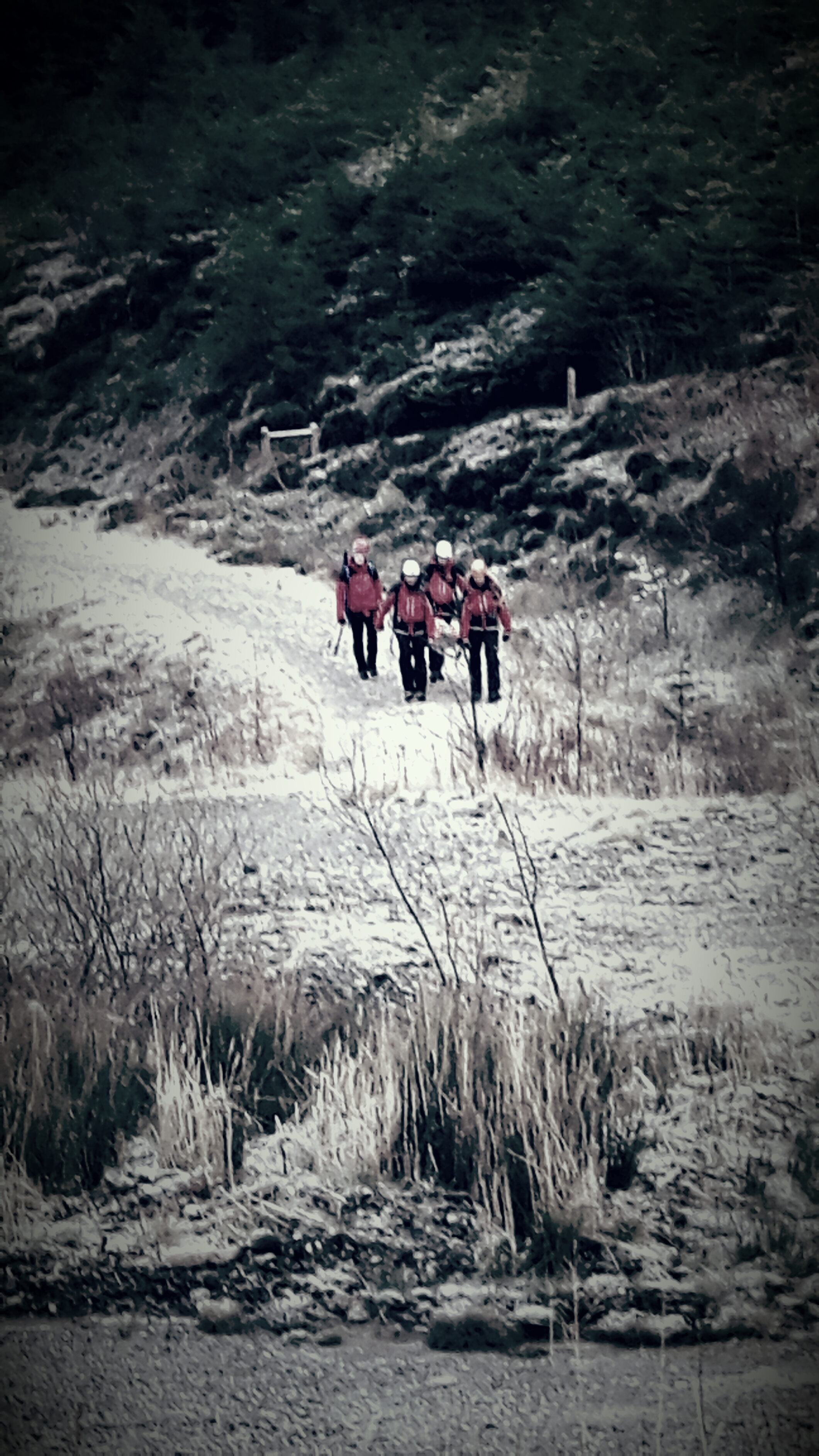
Uses GPS on your phone to give a 6 figure grid reference of your location when you need it . Most people get in dificulty coming downhill frequently due to poor navigation leading them in to steep dangerous ground. OS locate quickly confirms where you are. It can also be used to confirm you are going in the correct direction. Use OS locate to check your current location, walk a few hundred metres, and do it again to confirm you are on track.
Now the clever bit. In difficulty and require help. Unlike many walking apps that require wi fi /3G signals; OS locate allows you to send a text message to anyone giving your current location. Text messages often work in poor signal areas even where the signal does not allow you to phone and speak to someone.
Its free.
Download OS Locate to your phone before you go on the hill.
Its another tool in the box that might help you if you get in to difficulty and require help. However still rely on your compass for direction as electronic compass systems require to be calibrated for accuracy.
Safe Trekking
